Gallery

Why stay here ...
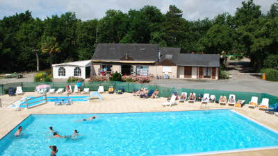
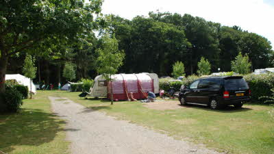
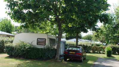
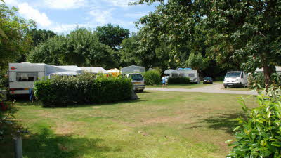
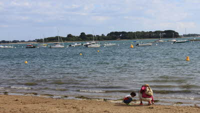
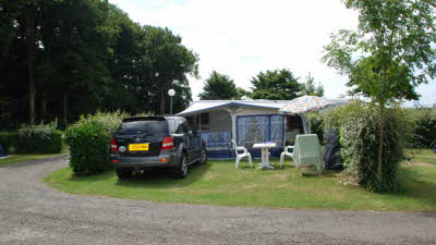
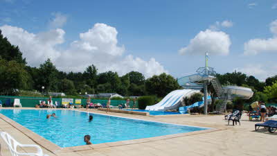
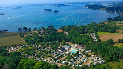
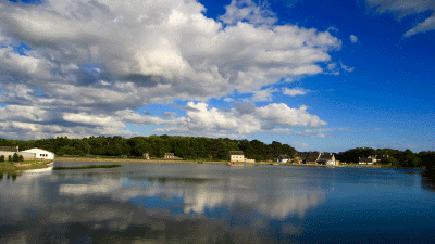
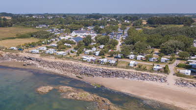
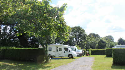
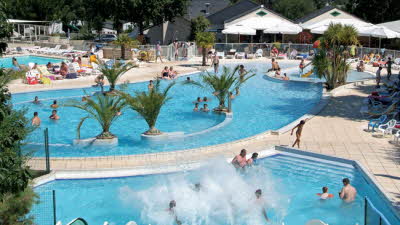
This rural site is just 200m from the spectacular setting of the Morbihan Gulf and, although it gets busy in high season, retains a laid-back, relaxing feel. It is kept clean and tidy by the owners, with spotless facilities and a good outdoor pool with water slide, along with an impressive covered pool. One set of pitches is on open ground and separated by hedges, while the other is in a more wooded area providing shade in summer.
The Gulf waters are ideal for younger children, being sheltered and calm, with gentle slopes into the water. Canoes are also available to hire onsite for use in the sea.
The coast offers some spectacular walks, and boat trips are available for those wishing to visit the islands. Nearby Vannes is well worth a visit, while the standing stones of Carnac can be reached in around 35 minutes.
Around and About
Arradon, Golfe du Morbihan, Ile-aux-Moines, Ile-d’Arz, Vannes, Auray, Lorient, Grande Brière Regional Park, Local markets, Water sports, Kayaking, Sailing, Lazy river, Fishing, Cycle routes.
Prices

Useful Info
Nearby
Map
Directions
Travelling along the D127 following the signs for Arradon, Ile-aux-Moins at the third roadabout "Le Vincin" take the third exit (Rue du Plessis d'Arrandon) Continue along this road following the signs for camping Pen Boch for 4km. The road will then change to Rue Albert Danet, after 500m turn right at the junction following the signs for camping Pen Boch into Rue Saint Vincent Ferrier. After 750m the road bears to the left and changes to Rue Saint Gildas. Continue on Rue Saint Gildas for 1.5km after the crossorads the road change to Route de Bourgerel. Continue on Route de Bourgerel for 4km. At the crossroads with Route de Tyningolec and Impasse de Bourgerel. Continue straight across the crossroads where Route de Bourgerel becomes Route De Roguedas. Continue on this road for 1km. Campsite will be down Chemin de Penboch (3rd on the right - Please note that the only access to the site is by Chemin de Penboch which is a single track road). At the end of Chemin de Penboch the road will fork, for reception follow the signs to the left.
Sites key:
- Postcode:
- 56610
- Region:
- Brittany
- Distance to Calais: (kms)
- 645
- GPS:
- Lat 47.6219 / Lon -2.80056
- Michelin map no.
- 308
Transport links
- Nearest port: St Malo (185 kms)


