Crich Tramway Village
Featuring vintage tram rides, exhibitions, woodland walk, children play area, tea rooms, shops and a pub.
View and BookPotters Lane, Moorwood Moor, South Wingfield, Alfreton, Derbyshire, DE55 7NU
View on map

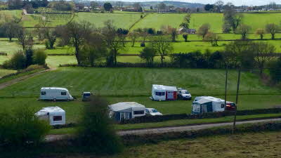
The Chestnuts is in the picturesque Hamlet of Moorwood Moor on the edge of the Peak District and we are situated one mile from South Wingfield, two miles from Crich. Five miles from Matlock.
200 metres along the lane is The White Hart Inn where you will experience good food or just enjoy a well-deserved glass of wine
Many walks from the door.
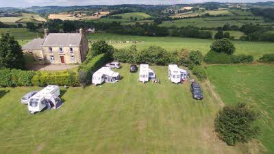
The Chestnuts is a rural site proving a tranquil and relaxing location where you can take in the beautiful and peaceful surroundings.
Located where there is easy access to:
Crich Village is nearby where you will find a village shop, butchers, bakers and chemist.
To book a pitch please book directly via phone or email.
Recycling facilities
Dogs welcome
Peaceful rural site
Prices

Useful Info
Latest arrival time: 8:00 PM
Latest departure time: 11:00 AM
0.75 acres
Some sloping pitches
Levelling blocks required
Lawned site
Recycling Facilities
Offers available to Club members

Featuring vintage tram rides, exhibitions, woodland walk, children play area, tea rooms, shops and a pub.
View and Book
An interactive journey featuring cars built by British companies, and the people behind them.
View and Book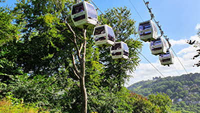
Tours of famous show caverns, a fossil factory, rock shop, walks, play areas and Victorian Prospect Tower.
View and Book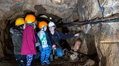
Explore a miner’s life including the tools he worked through a guided tour as you clamber through tunnels.
View and BookYou need to be a Club member to view directions to this Certificated Location. Log in
Sites key:

