Book a Club campsite
Search and book a great value holiday today
Book nowFrom the Cambrian Mountains to the Severn Estuary, Philip Moon follows the River Wye from source to sea
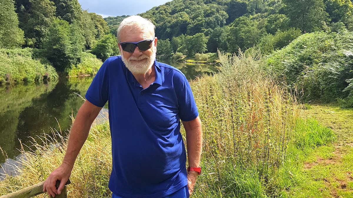 Philip Moon on the Wye Valley walk
In 2021, emerging from lockdown, I set myself the challenge of tracing the Thames from its origin in Gloucestershire to the Thames Estuary by boot, boat and bike (see the December 2021 issue). I enjoyed it so much that I wanted to do something similar in 2022.
Following the River Wye – the fourth longest river in Britain – felt like the right option. The Wye rises in mid-Wales and meanders through Powys, Herefordshire and Gwent to its mouth 155 miles away, south of Chepstow. (Some sources contradict this and state that the Wye is 130 miles long.) There it empties into the Severn, which widens at that point into the Bristol Channel.
It was an expedition that I would find challenging both physically – obviously so for an overweight septuagenarian with a gammy knee – and intellectually, with careful planning needed to navigate the complexities of getting to and from start and finish points using car, bike, public transport and taxis.
It would take me through some of the most beautiful parts of Britain and enable me to use some delightful Certificated Location (CL) sites. To make life easier, I planned my route in two parts: one week at the beginning of July; and a second trip a few weeks later.
Day 1: Upper Glandulas CL
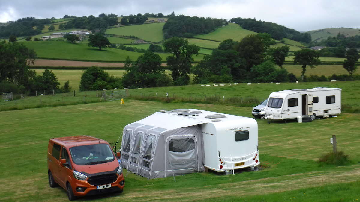 Upper Glandulas CL
My base for the first four nights was Upper Glandulas CL, near Llanidloes. I hadn’t been to a CL before and I was a bit nervous – I needn’t have been. The field was as flat as you could hope for and the grass well mowed. There was no toilet block or shower, but it did have electric hook-up, and the surrounds were stunning. It felt great to be on a working farm with sheep grazing in the next field.
I was greeted by Harry, the farmer who owns and manages the site with his partner, Emma. He told me enthusiastically about his plans to expand his herds of sheep and cattle. Talking to farmers and learning about their experiences was to be one of the many joys of using CLs.
Day 2: Plynlimon Fawr
The Wye rises on the eastern slopes of Plynlimon Fawr, the highest peak in mid-Wales. My plan was to ascend by way of a track from the south and then head east down a slope to pick up the rivulets forming the nascent Wye.
It was a grey and drizzly day, and visibility became increasingly difficult. From the summit of Plynlimon I could see next to nothing, and to have continued off-piste to the source of the river in such conditions would have been irresponsible. I had to retrace my footsteps to camp, but could still claim I had looked upon the source of the Wye, even if I hadn’t been able to identify it.
Day 3: Pont Rhydgaled to Llangurig
I picked up the Wye Valley Walk where the river crosses the A44 at Pont Rhydgaled. The signpost said it would be 6½ miles back to Llangurig. The walk was a delight – at least at first – but waymarks are easy to miss and my path became increasingly boggy, my feet sinking deep into the mud. This couldn’t be right. I retraced my soggy steps and picked up the correct track. It continued as a pleasant stroll, although there was a nervous encounter with a herd of cows, who eyed me suspiciously before bolting away. Footsore, and certain I’d walked much more than 6½ miles, I finally arrived in the village of Llangurig.
Day 4: Llangurig to Hay-on-Wye
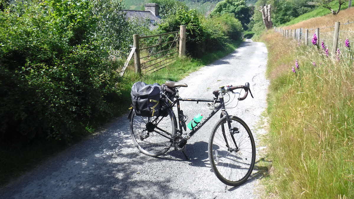 National Cycle Route 8
A cycling day along National Cycle Route 8 from Llangurig to Glasbury, and then a short section of B-road towards my destination, Hay-on-Wye – some 48 miles in total. The scenery is beautiful in this under-visited part of Wales, but beauty means hills, which was tough for a cyclist well past his prime and more used to the flatlands of Lincolnshire.
Day 5: Moorhampton
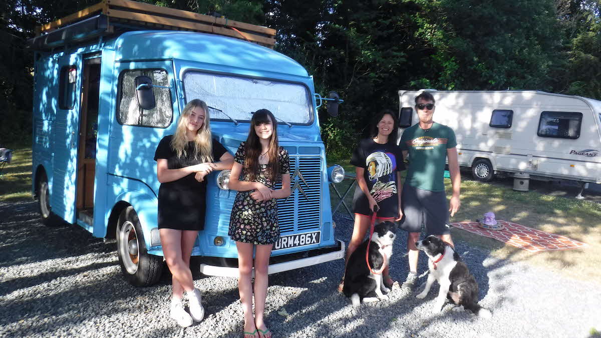 Steve, Marie, Kaya and Bronte with their vintage van
A day for recuperating and moving my van on to my next base – the pleasant Moorhampton Club Campsite, built on the site of an old railway station. The pitch next to mine was occupied by a vintage H-series Citroën goods van converted into a motorhome. A chance to practise my French? No. It turned out to belong to a family from Sheffield: Steve, Marie, Kaya and Bronte, making the most of post-lockdown freedom with their amazing motorhome.
Days 6 and 7: Hay-on-Wye to Hereford
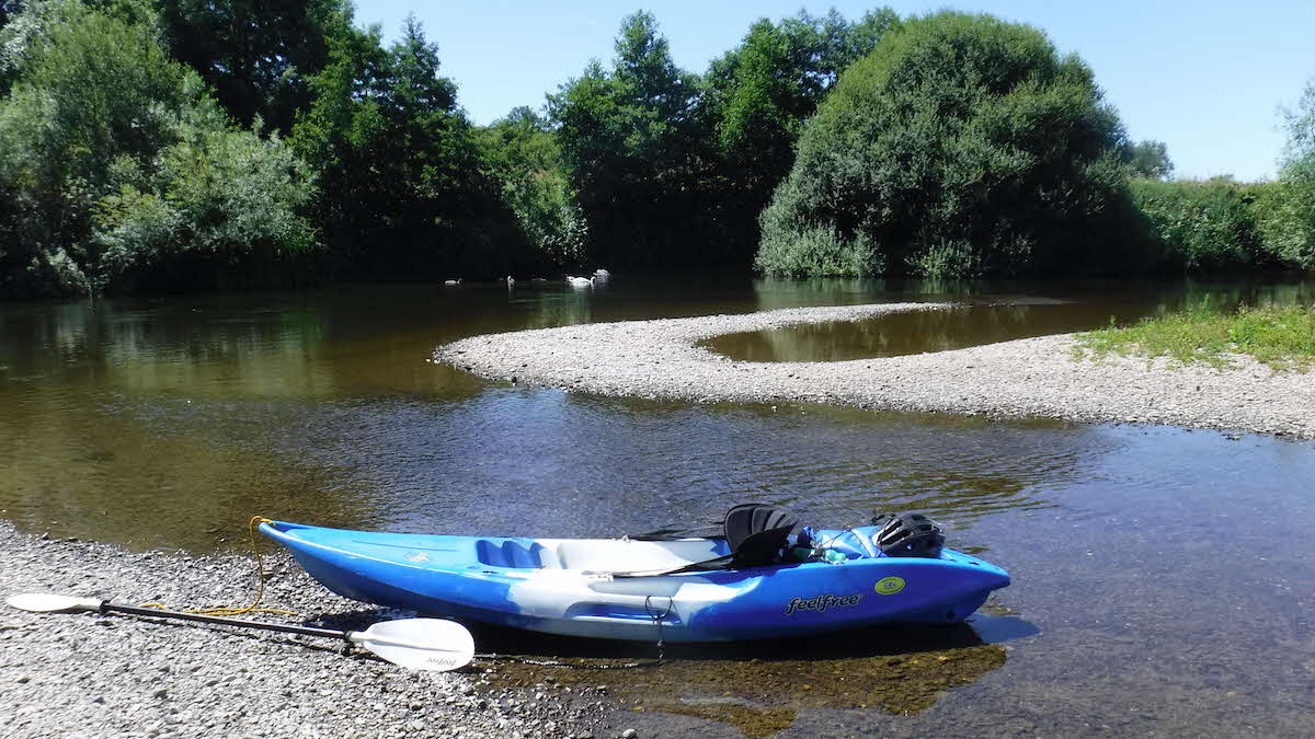
Next, two days on the water, travelling by canoe. The upper reaches of the Wye are only navigable from October to March. Even downstream from Hay there are many places where the river is shallow, and it’s easy to run aground. ‘Still waters run deep’, I told myself, but the principle didn’t always work.
Gradually, I learned to read the river, although at one point the rush was a bit too powerful, propelling me at great speed into the branches of an over-hanging tree. For a moment everything held in the balance – the force of the water, the resistance of the tree – but something had to give, and it was me and my canoe. Over we went. There was a moment of panic as I flayed around trying hold onto canoe and paddle but, once in control, I found I enjoyed the refreshing dip.
There was much birdlife to enjoy as I made my way along the river – swans, ducks, herons, egrets and a flock of sand martins busily flying in and out of their burrows in the mud bank. And then a flash of blue darting down the river. Was it a kingfisher? I’d like to think so.
Finally, at the end of day 7, I pulled in at Hereford Rowing Club, where marquees were up and a jazz band was playing. It was the annual Beer on the Wye Festival. I felt obliged to sample a couple of beers while waiting for my taxi to take me and my canoe back to base.
Day 1: Hereford to Lucksall
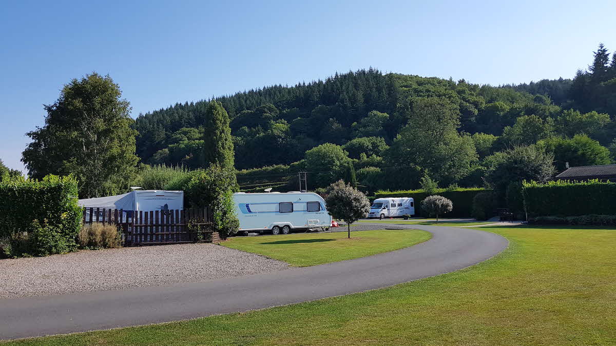 Lucksall Affiliated Site
My first base on this trip was the Club’s Lucksall Affiliated Site, five miles south-east of Hereford. Situated right on the riverbank, it’s a big, beautifully laid-out venue with plenty of open space and bushes. The facilities are excellent, and include a restaurant and bar.
The aim for the afternoon was to complete the 7½ miles downstream from Hereford to Lucksall. Luckily for me, the authorities had decided to release water reserves to protect fish and other wildlife. The greater flow of water made the canoeing a lot easier.
Days 2-3: Lucksall to Ross-on-Wye
I canoed from Lucksall to Hoarwithy, then cycled back to base. After a shower and a quick bite to eat, I headed out for a bit of culture – a concert at Hereford Cathedral, part of the annual Three Choirs Festival (an annual musical meeting of the three cathedral choirs of Gloucester, Worcester and Hereford). The next day I drove to Ross, left the car there and cycled back to Hoarwithy to pick up the canoe and continue downstream.
Days 4-5: Ross-on-Wye to Monmouth
Time to move the van to my next base: Hollymount CL, just south of Ross – a pleasant, spacious site based on a 200-acre fruit farm. A short canoe trip in the afternoon took me past Goodrich Castle, preserved from medieval times, and on to the village of Kerne Bridge. The following day would be a big one: 14 miles on the river to Monmouth, including the rapids at Symonds Yat. I was feeling nervous.
The area around Symonds Yat is staggeringly beautiful, even by the high standards of the rest of the Wye, and many people were out enjoying themselves, not only on the river but also on the pub-lined shores.
Downriver from there lie the rapids. Heart in mouth, I let the water take me. ‘Keep right’, I’d been told. I paddled furiously. There was a huge bang as I hit a submerged boulder, but I stayed upright and soon I was safely through. Was it luck or was it skill? I suppose a little bit of both. [Note: the Symonds Yat rapids can be dangerous for the inexperienced – so do your research before making a decision whether to paddle them.]
Day 6: Monmouth to Tintern
In the morning I moved my van to my final base: Innage Farm CL, just south of Chepstow. Then I drove to Tintern, left the car and cycled back to Monmouth to begin my walk. My 10-mile route alternated between the left and the right banks, the English and the Welsh sides. Finally, exhausted and thirsty, I staggered into Tintern, where I fell into the first pub I could find. The day had been hot and humid, and so was I – which probably accounts for why, as I approached the bar, everyone else moved away.
Day 7: Tintern to Severn Estuary
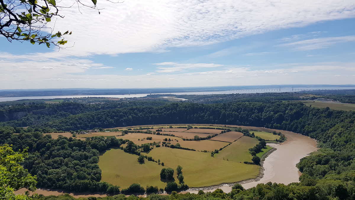 From the Eagle's Nest viewpoint near Tintern, you can see the Wye meandering to the sea
For the final stretch of my adventure, I hopped on a bus back to Tintern, where I paused to admire the wonderful abbey ruins. Today’s walk took me up steep, wooded slopes to the Eagle’s Nest viewpoint, which offers magnificent vistas over the Wye as it meanders towards the sea. Finally, I headed down into Chepstow, where I picked up my bike to cycle the last leg – across the Severn Bridge to view the point at which the two rivers meet. Mission complete!